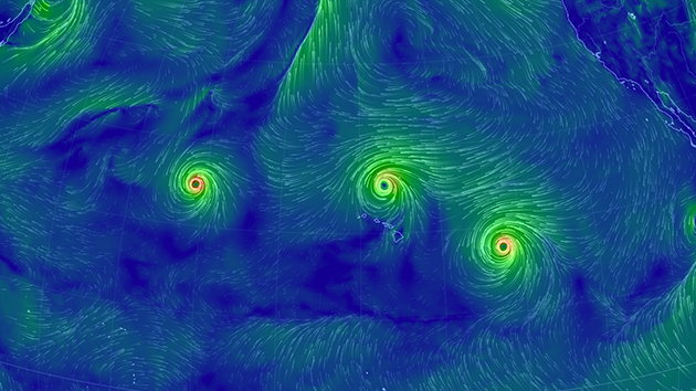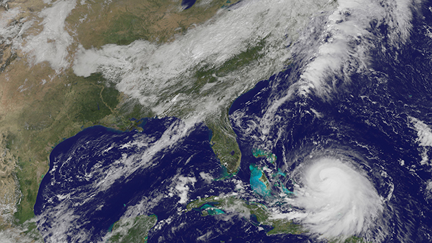
Hurricane Joaquin is currently passing the Bahamas and heading for the East Coast. This image is from Wednesday at noon ET. <a href="http://goes.gsfc.nasa.gov/">NASA</a>
The Northeast is in for a good soaking over the next few days from Hurricane Joaquin, which continues to gather strength as it makes a beeline for Washington, DC.
Here’s the current trajectory of the storm. The blue shaded area is where scientists at the National Hurricane Center think the storm will go over the next one to three days:
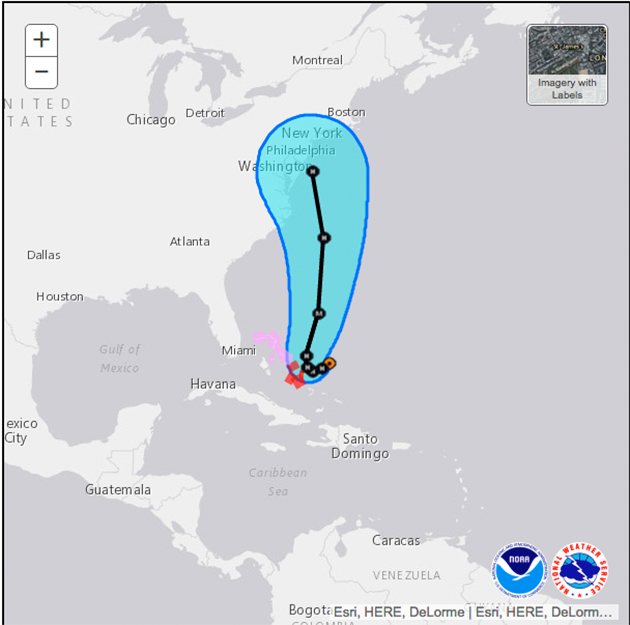
There’s still plenty of uncertainty about where Joaquin could wind up, according to the latest forecast from the National Oceanic and Atmospheric Administration. There’s a chance it could veer out to sea and not make landfall at all; either way, it seems certain to gain strength over the next several days. As of late this morning, the NHC director was hesitant to make specific predictions about what Northeasterners should expect to face:
It is still too soon to specify storm surge, rain, and wind impacts that #Joaquin could cause in the U.S. http://t.co/liRHCUt4KO
— Dr. Rick Knabb (@NHCDirector) September 30, 2015
Still, he advised that authorities remain on high alert:
A #hurricane watch could be required for portions of the U.S. coast as early as Thursday evening. http://t.co/xUmbAc7ZJ0 #Joaquin
— Dr. Rick Knabb (@NHCDirector) September 30, 2015
No matter which direction the storm goes, one thing is for sure: You’re going to need an umbrella. And a jacket. And rubber boots.
Again, even in unlikely case that #Joaquin avoids US landfall, it’s going to rain a *lot*… latest GFS hints at 2ft! pic.twitter.com/TUidz78h2X
— Eric Holthaus (@EricHolthaus) September 30, 2015
